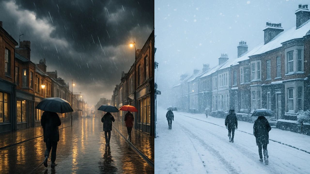
The middle of December is bringing a rise in weather speculation across the United Kingdom, with many social media posts suggesting the possibility of heavy snow and even blizzard-like scenes later in the month. These claims have captured the public’s attention, especially as Christmas approaches. However, the Met Office’s latest forecasts continue to paint a different and more measured picture.
Currently, the official outlook remains dominated by rain, wind, and unsettled conditions, with only limited chances of snow in specific regions. This article breaks down what has been confirmed, what remains uncertain, and why many viral snow maps should be treated with caution.

As always in the UK, snow forecasting is not straightforward. A slight rise or drop in temperature can instantly change snow into sleet or rain. For this reason, the Met Office emphasizes that reliable snow predictions in lowland areas cannot usually be made until around five days before the expected date.
As the Christmas period approaches, interest in whether the nation may experience a White Christmas will only grow, but the official guidance is clear that it is too early for firm predictions. Below is a comprehensive breakdown for readers who prefer accurate, dependable updates rather than relying on online guesswork.

Table of Contents
Current Met Office Outlook
The latest Met Office forecasts show a continuation of wet and unsettled weather across the UK through the middle of December. Many areas, particularly in England and Wales, are expected to experience frequent bands of rain, accompanied by breezy conditions.

The north of the UK may experience slightly colder air at times, but substantial snowfall is not currently expected at lower elevations. Any snow risk remains mostly confined to the Scottish Highlands and higher ground in northern England.
my pic @lbc #weather #ukweather #glasgow #scotland #Windy #snow #christmas #Christmas2025 #stormbramhttps://t.co/EVY8VMUQbE
— harry hound (@harryhoundy) December 13, 2025
Long-Range Forecast: 19–28 December

The Met Office’s extended outlook indicates that:
- High pressure may begin to build over the UK.
- Skies could turn clearer with colder nights, frost, and patches of fog.
- Daylight hours may stay chilly but not exceptionally cold.
Snow is not ruled out, but the risk remains highest on high ground. Widespread snowfall across towns and cities is not supported by current official modelling.
White Christmas: What Counts and What Is Likely?
The Met Office defines a White Christmas as the observation of at least one snowflake falling anywhere in the UK on Christmas Day. This means:
- A White Christmas is possible most years, even if snow does not settle.
- Snow lying on the ground across the country is far rarer.
- Accurate Christmas snow forecasts typically become reliable five days before Christmas.
At present, there is no confirmed indication of nationwide snow on Christmas Day, despite speculation online.
Why Online Snow Maps Can Be Misleading
Social media posts showing swathes of the UK covered in blue and purple “snow zones” have circulated widely. However:
- Many of these images come from raw weather model outputs.
- Raw models are not official forecasts.
- They can change dramatically several times a day.
This is why the Met Office advises caution and urges the public to rely on verified updates rather than projections shared without context.
Understanding Why Snow Forecasting Is So Difficult
Snow forecasting in the UK presents several challenges:
| Factor | Explanation |
|---|---|
| Marginal Temperatures | The UK often sits close to the freezing line, where tiny shifts determine whether it snows or rains. |
| Low-Level Warm Air | Snow may form higher in the atmosphere but melt into rain before reaching the ground. |
| Proximity to the Atlantic | Frequent Atlantic systems bring milder air, reducing the chances of snow. |
| Regional Variation | Northern high ground sees snow regularly, while southern lowlands remain milder. |
Due to these factors, even expert forecasts require ongoing updates.
Key Points the Public Should Know
- Expect rain and unsettled conditions through mid-December.
- Snow is possible mainly over higher ground in Scotland and northern England.
- A White Christmas is not ruled out, but cannot be predicted reliably yet.
- Viral snow maps are not official forecasts and may cause unnecessary alarm.
- Trust the Met Office updates for accurate and verified weather information.